
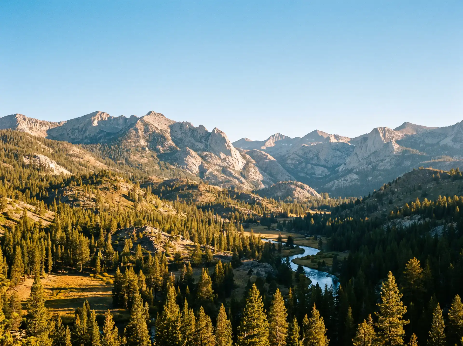
The Ascent Begins: Basecamps of the Lower Foothills
Leaving the valley floor behind, the topography quickly begins its upward tilt. The initial tier of the foothills is characterized by golden grasslands, dramatic rock outcroppings, and scattered valley oaks that frame the winding mountain roads. This region serves as the first defensive line of mountain culture, where old ranching outposts have evolved into welcoming staging grounds for mountain travelers.
Squaw Valley and Centerville: The Historic Valley Transitions
 Positioned along Highway 180, the path that directly climbs toward Kings Canyon, these lower-elevation outposts mark the official transition into the hills. Centerville offers a classic, shaded resting spot close to the Kings River, while Squaw Valley serves as an essential supply point. For generations, these communities have provided local ranchers and passing explorers with fuel, provisions, and a final taste of valley hospitality before the cellular signals fade and the real climbing begins.
Stopping here allows travelers to appreciate the sheer scale of the Sierra Nevada’s western slope. On clear days, the view backward offers a sprawling panorama of the valley’s vast agricultural footprint, while looking forward reveals the dark, pine-covered ridges rising sharply into the sky.
The Pine Belt Hubs: Logging Heritage and High-Altitude Culture
As your altitude climbs past 3,000 feet, the oak woodlands naturally yield to dense stands of ponderosa pine, incense cedar, and white fir. The temperature drops noticeably, the air sharpens, and you enter the historic heart of the Sierra logging and hydro-electric frontier. The communities built here are deeply rooted in the rugged timber industries of the 19th and 20th centuries.
Pine Ridge and Tollhouse: The Legacy of the Timber Flumes
Tollhouse, situated along the historic route to Shaver Lake, carries its heritage right in its name. Originally a physical toll station built in the 1800s to fund the construction of the mountain wagon road, it became a pivotal hub for teamsters hauling massive timber loads down from the high country. Nearby, Pine Ridge stands as a testament to the early loggers who braved treacherous winter conditions to supply the growing cities below with premium California lumber.
Today, these areas are perfect for travelers who want to dive into regional history. Historic markers, vintage logging equipment remnants, and local architecture reflect a time when the mountain flumes carried thousands of board-feet of timber down the slopes on a rushing current of water.
Shaver Lake: The Ultimate Alpine Basecamp
Further up Highway 168, sitting at an elevation of roughly 5,600 feet, Shaver Lake represents the classic California alpine resort community. Developed originally around a logging mill operated by pioneer industrialist Gilbert Shaver, the region was later transformed by the construction of the massive Big Creek Hydroelectric Project—an engineering marvel often dubbed the “Hardest Working Water in the World.”
Shaver Lake is the quintessential modern gateway hub. Its vibrant mountain village features multi-generational trading posts, local diners, and outdoor outfitters. It functions as a dual-season destination:
- Summer: A haven for kayaking, jet-skiing, and hiking through the dense pine forests surrounding the pristine shoreline.
- Winter: A critical basecamp for winter sports enthusiasts heading further up the mountain to China Peak Mountain Resort.
The Deep Backcountry Gateways: High Sierra Access Points
For those who push past the mid-elevation lakes, the landscape changes into a rugged world of exposed granite shelves, glacial lakes, and towering, wind-swept peaks. The communities found at these extreme limits are smaller, highly specialized outposts that cater directly to wilderness packers, long-distance backpackers, and high-altitude anglers.
Huntington Lake and Lakeshore
 Located at 7,000 feet, Huntington Lake is a world-class sailing destination, famed for the predictable, daily thermal winds that sweep down the surrounding granite canyons. The community of Lakeshore provides a rustic, old-school Sierra experience. Composed largely of historic log cabins, classic campgrounds, and wilderness ranger stations, this area serves as a vital launching point into the Ansel Adams and John Muir Wilderness areas.
Here, the pace of life slows down significantly. The focus shifts entirely to the natural world. It is a place where you can stock up on bear canisters, consult with wilderness rangers regarding backcountry trail conditions, and enjoy a warm meal before setting out on foot into the high-altitude wilderness.
Practical Travel Tips for Exploring the Gateway Hubs
To make the absolute most of your journey through these Fresno County mountain communities, it helps to keep a few vital, local travel strategies in mind:
Check the Seasonal Pass Conditions: Higher elevation routes, including portions of Highway 168 past Huntington Lake and the deep interior roads of Kings Canyon, experience significant seasonal closures due to heavy alpine snowpacks. Always verify road statuses with Caltrans QuickMap before planning an early spring or late autumn transit.
- Support the Local Independent Economy: Instead of stocking up entirely at major corporate grocery chains down in the valley cities, buy your fresh produce, specialty camp firewood, and trail snacks at the independent general stores and historical trading posts within the foothill communities. Your patronage keeps these remote towns thriving.
- Prepare for Radical Temperature Changes: It is not unusual to experience a temperature drop of 30 to 40 degrees Fahrenheit between the hot valley floor in Fresno and the high-altitude shores of Huntington Lake. Dress in easily adjustable layers to stay comfortable as your altitude shifts.
- Fuel Up Early: Gasoline stations become sparse and prices climb once you ascend past the lower foothill tiers. Make it a habit to top off your fuel tank in communities like Clovis, Centerville, or Squaw Valley before starting the steep mountain climbs.
Conclusion: The Value of the Journey
The high peaks of the Sierra Nevada will always hold a natural allure, but the true spirit of the region lives within the gateway hubs that line the path to the crest. These communities bridge the gap between California’s agricultural heartland and its wild, protected alpine sanctuaries. By taking the time to stop, explore the historic streets, and enjoy the local hospitality of these mountain enclaves, you transform a standard road trip into a rich, immersive travel experience. The next time you chart a route into the high country, remember that the adventure doesn’t begin at the national park boundary—it begins the moment you meet the very first foothill line.